
Personalized Landtile Map:
Dollar Stretch Plan, $5
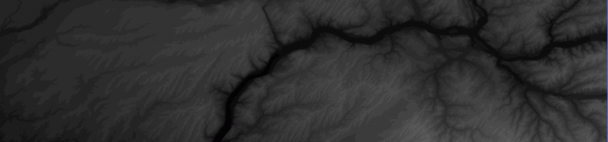
Pay $5 once for a personalized landtile and get updates for free, forever. A landtile map has two properties.
The Land Index and blog posts show standard landtiles. The landtile data is very dense. You can zoom-in on an area of interest. For a personalized map, email the landtile properties to
mountainpixels@gmail.com.
Personalized Landtile Map Properties
- The bounding box that contains the landtile of interest.
- north edge
- south edge
- west edge
- east edge
In decimal degrees with two decimal digits.
- The data density measured in linear feet per pixel.
- 100 ft per pixel ( 1 arc second )
Shortcut: Personalized Landtile Map Properties
What if you do not have a reference map that gives latitude and longitude? Then it is impossible!
On a desktop computer, you can use Google Maps. Find the area of interest.
- For 100 ft per pixel density, keep the landtile height and landtile width below 60 miles.
Click on the Share button on the Google Map, then the Embed map tab. Email the iframe code block to mountainpixels@gmail.com.
For a detailed description of the Google Map shortcut method, go here: Get area of interest from Google Maps.
Personalized Landtile Map Size Rules
As of today, the largest available map for a square bounding box is
- 1.25 by 1.25 degrees for 100 ft per pixel.
In miles: 60 miles by 60 miles. - 0.5 by 0.5 degrees for 33 ft per pixel.
In miles: 20 miles by 20 miles.
Largest available digital image resolution for the landtile is 1500 x 1500 screen pixels. The digital image can be changed to a rectangle that covers the same number of screen pixels. The landtile can be changed to a rectangle that covers the same number of pixels.