
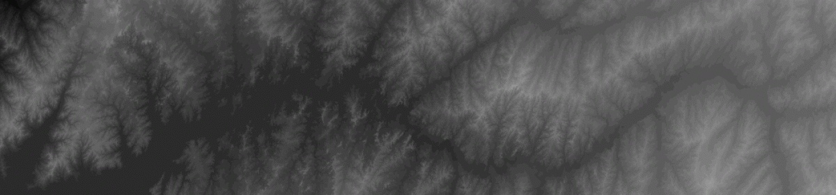


Montana, Hamilton East
Mapped area is in western Montana. The land shape represents surface elevation.
Landtile elevation shape facts:
- Top edge of landtile is north 47 degrees latitude.
- Left edge of landtile is west 115 degrees longitude.
- Each pixel is about 100 ft.
- Elevation surface: White is height, dark is down.
You can download the landtile above to your device. Find your landmarks and plan your next trip!
Need more map navigation details for travel planning?
1 by 1 degrees, $5 Forever

Full resolution: 1000 x 1000 pixels, 100 f00t pixels.
GET PERSONALIZED MTNPX
LANDTILE MAP HERE.
Travel Montana with Google Maps
Open in new tab. Mapped area is at top of this post. Set terrain feature to match landmark shapes.